Weather, roads and getting around the island
Hawaiʻi Island is big enough to hold desert, rainforest and snow, and getting around it takes longer than the map suggests, so plan the drives and read the weather.
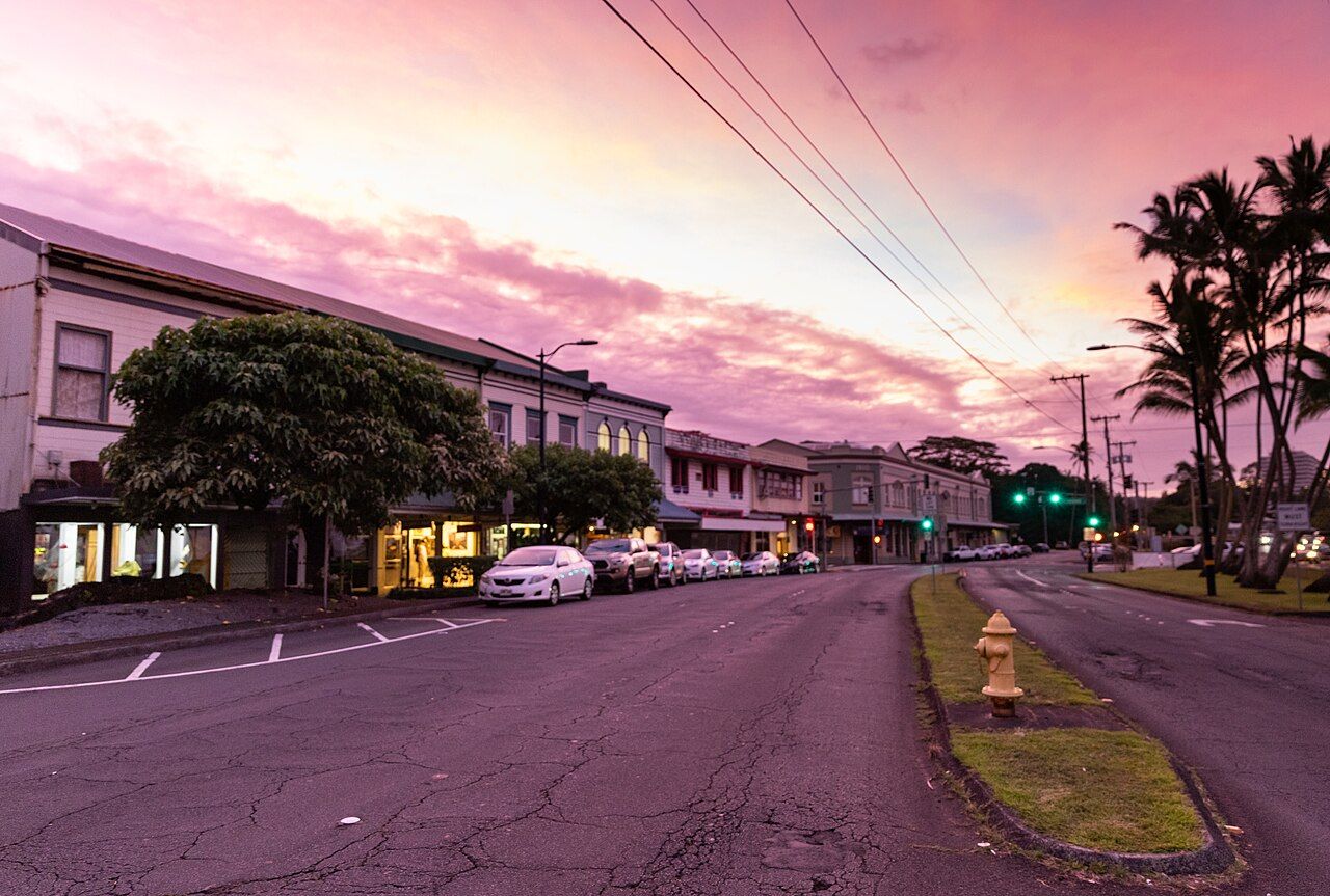
Hawaiʻi Island is the largest in the chain, larger than all the other Hawaiian islands combined. It holds lush rainforest, dry lava desert, cool ranch country and summits that see snow in winter. Distances are long, roads wind through gulches and over mountains, and the weather on one side can be the opposite of the weather on the other. A little planning makes a big difference.
Windward and leeward
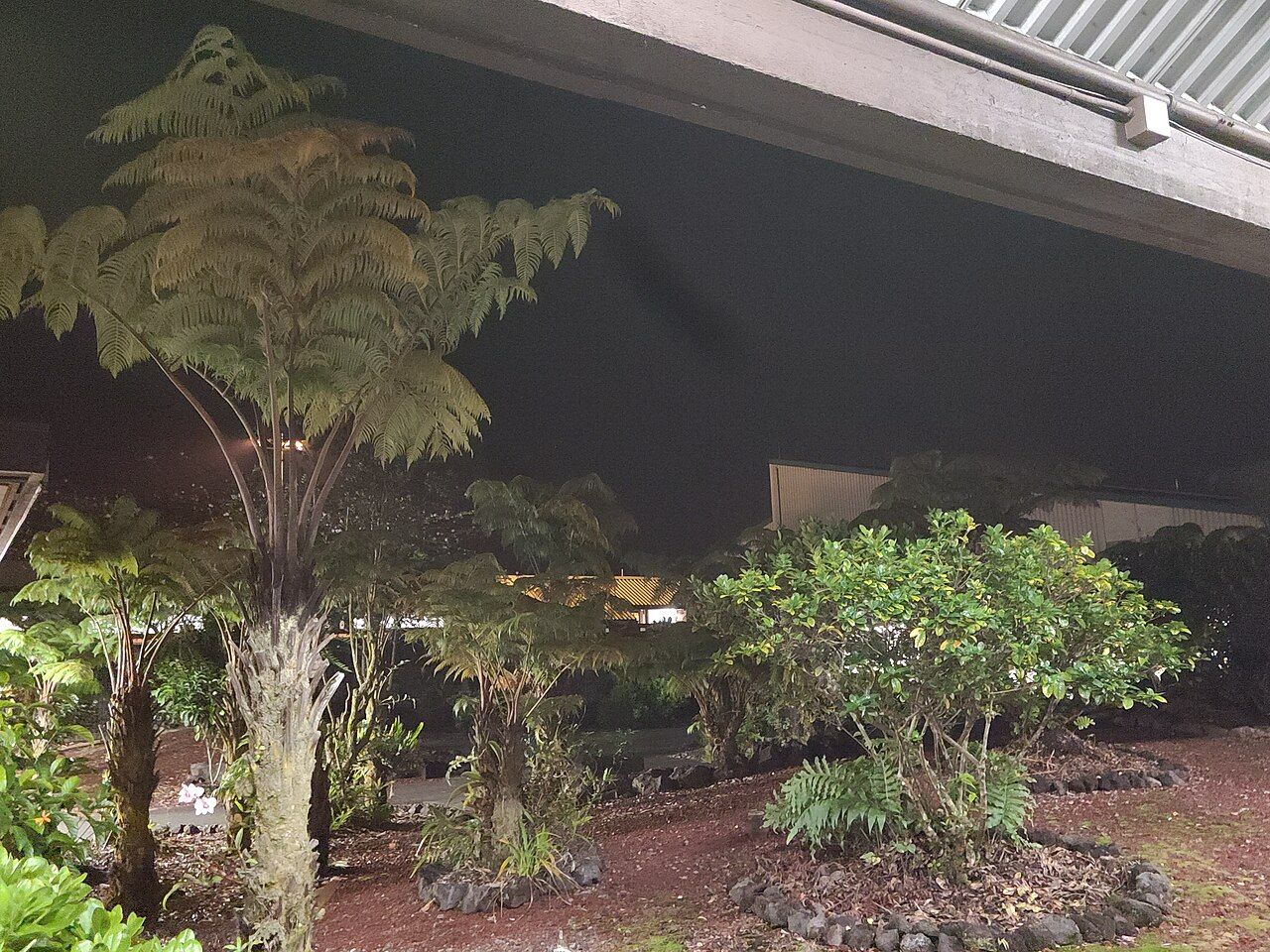
The single most important pattern is the trade winds, which blow from the north-east for much of the year. As the moist air meets the mountains it rises, cools and drops its rain on the windward side: the Hāmākua Coast, Hilo and Puna. The leeward side, including Kona and South Kohala, lies in the rain shadow and is much drier and sunnier.
On the windward side, expect rain on most days of the year, often as showers that come and go. Mornings are usually clearer; clouds and rain build in the afternoon and at night. That rain makes the waterfalls, the green gulches and the farms of the coast. Bring a rain jacket and do not let a grey sky put you off; the next valley may be clear.
The seasons are subtle. Winter, roughly from late autumn into spring, brings more rain to the windward side and the chance of storms from other directions, along with large north swells on exposed coasts. Summer is a little warmer and drier, with steadier trade winds. Hurricane season runs through the summer and autumn months; serious storms are uncommon, but follow official warnings if one approaches.
Altitude and cold
Temperatures drop as you climb. Waimea, at around 800 metres, is noticeably cooler than the coast, and evenings can be chilly. Higher up, on the Saddle Road and on Mauna Kea and Mauna Loa, it can be cold, foggy and windy at any time of year, with snow and ice on the summits in winter. If you plan to go high, read the guide to the mountain first and bring warm layers.
Vog
When Kīlauea is erupting, it releases volcanic gases that react in the air to form a haze called vog. The trade winds usually carry it around the south of the island and up the Kona side, where it can sit for days. The windward coast is often clear, but when winds shift, vog can reach Hilo and Hāmākua too. It can irritate the eyes and lungs, especially for people with asthma or heart conditions. Air quality information is published and is worth checking during eruptions.
Flash floods and streams
Heavy rain on the mountains can turn a quiet stream into a torrent within minutes, even when the sky above you looks fine. This is the most serious weather hazard on the windward side.
Also on this coastHiʻilawe and the falls at the back of the valley- Never cross a flooded stream on foot or in a car. Wait until the water drops, which may take hours.
- Watch for rising, muddy water or debris, and leave stream beds quickly if you see it.
- Do not swim below waterfalls or in rivers after rain. Rocks can fall from cliffs too.
- Take flood watches and warnings seriously, and check the forecast before any valley hike.
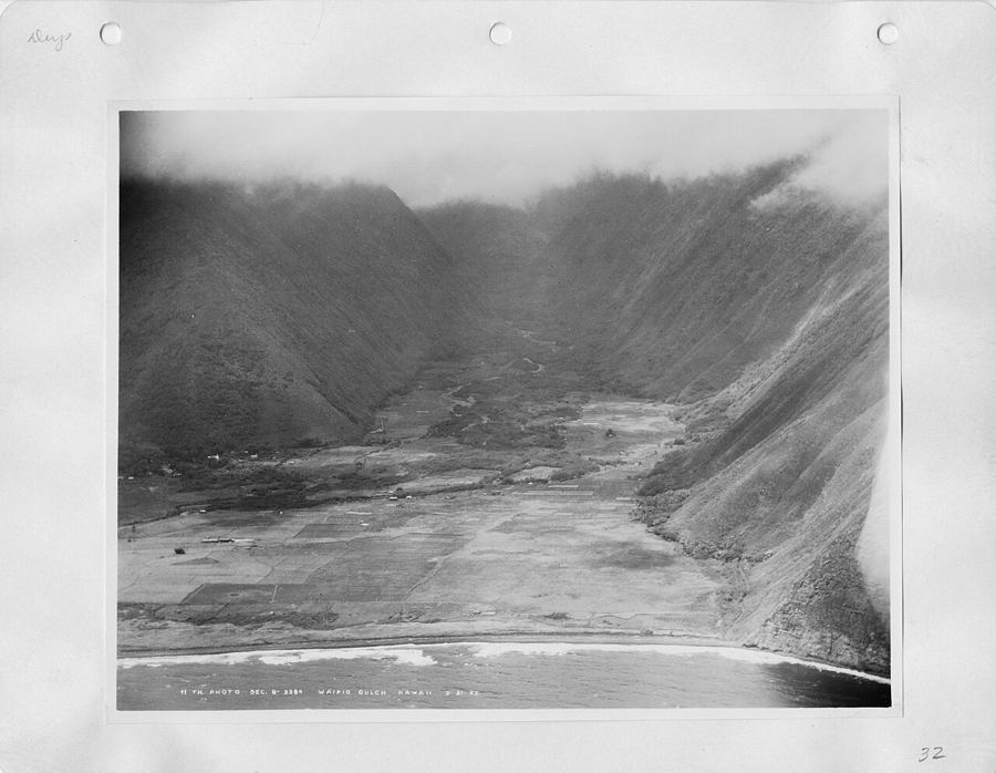
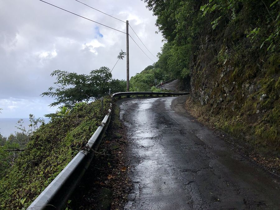
This applies to valleys like Waipiʻo, where streams cross the valley floor and the rules on access have changed. See the guide to the road and access for more.
Roads and driving
The main roads circle the island and cross it. Highway 19 runs north from Hilo along the Hāmākua Coast to Honokaʻa and on to Waimea, then down to the Kohala coast. The Saddle Road, Route 200, crosses between the two great mountains from Hilo toward Waimea and Kona. Highway 11 runs south from Hilo past the volcano and around to Kona.
Distances take longer than they look. Driving from Hilo to Honokaʻa takes about an hour; Honokaʻa to Waimea, about half an hour; Hilo to Kona, roughly two hours or more, whichever way you go. A drive all the way around the island takes most of a day without stops. Allow extra time for rain, slow traffic and road works.
- Fill the tank before crossing the Saddle Road or heading to remote areas; stations are few.
- Pull over to let faster local traffic pass on winding roads.
- Watch for one-lane bridges on older roads and yield as signs indicate.
- Nēnē, the native goose, cross roads in some areas; slow down where signs warn of them.
Airports and getting around without a car
The island has two main airports: Hilo International on the windward side, close to Hilo town, and the larger airport at Keāhole near Kailua-Kona on the leeward side. Which one suits you depends on where you are staying; for the Hāmākua Coast, Hilo is often closer, but Kona has more flights. Both handle inter-island flights, and some mainland flights.
Without a car, getting around is harder. The county runs a public bus service, Hele-On, with routes linking the main towns. Taxis and ride services are available in the larger towns but scarce in rural areas. Most visitors find a car essential for exploring the coast, the uplands and the valleys.
However you travel, give yourself more time than you think. The best parts of this island are often found on the way to somewhere else, in a gulch, at a lookout or under a passing shower that leaves a rainbow behind it. A slower pace suits the island and its weather.
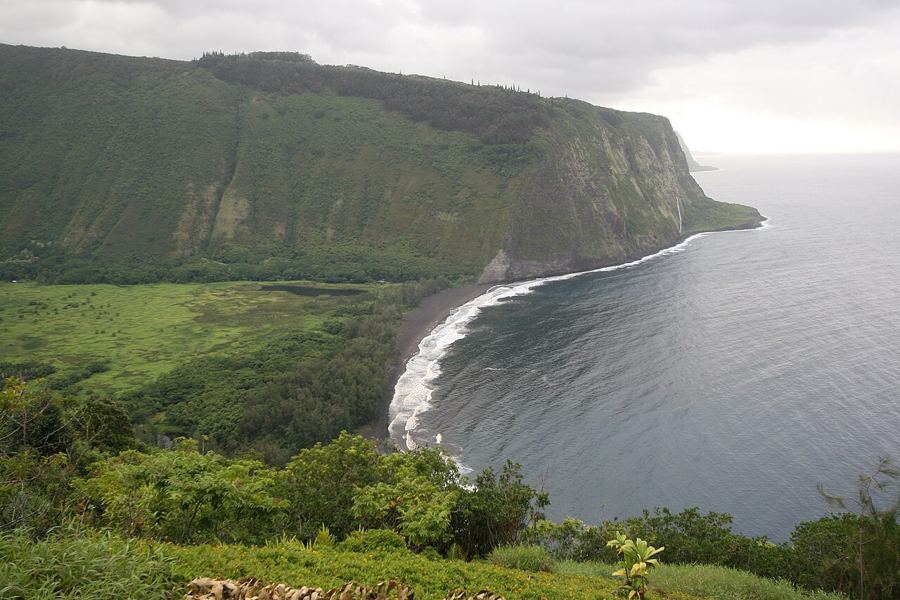 Looking down into Waipiʻo
 Valley of the Kings: the story of Waipiʻo
 The road down: access to Waipiʻo since 2022