Pōlōlū Valley at the other end
Where the road runs out in North Kohala, a lookout opens onto the last of the deep valleys that stretch along the cliffs from Waipiʻo, with a steep trail down to the sea.
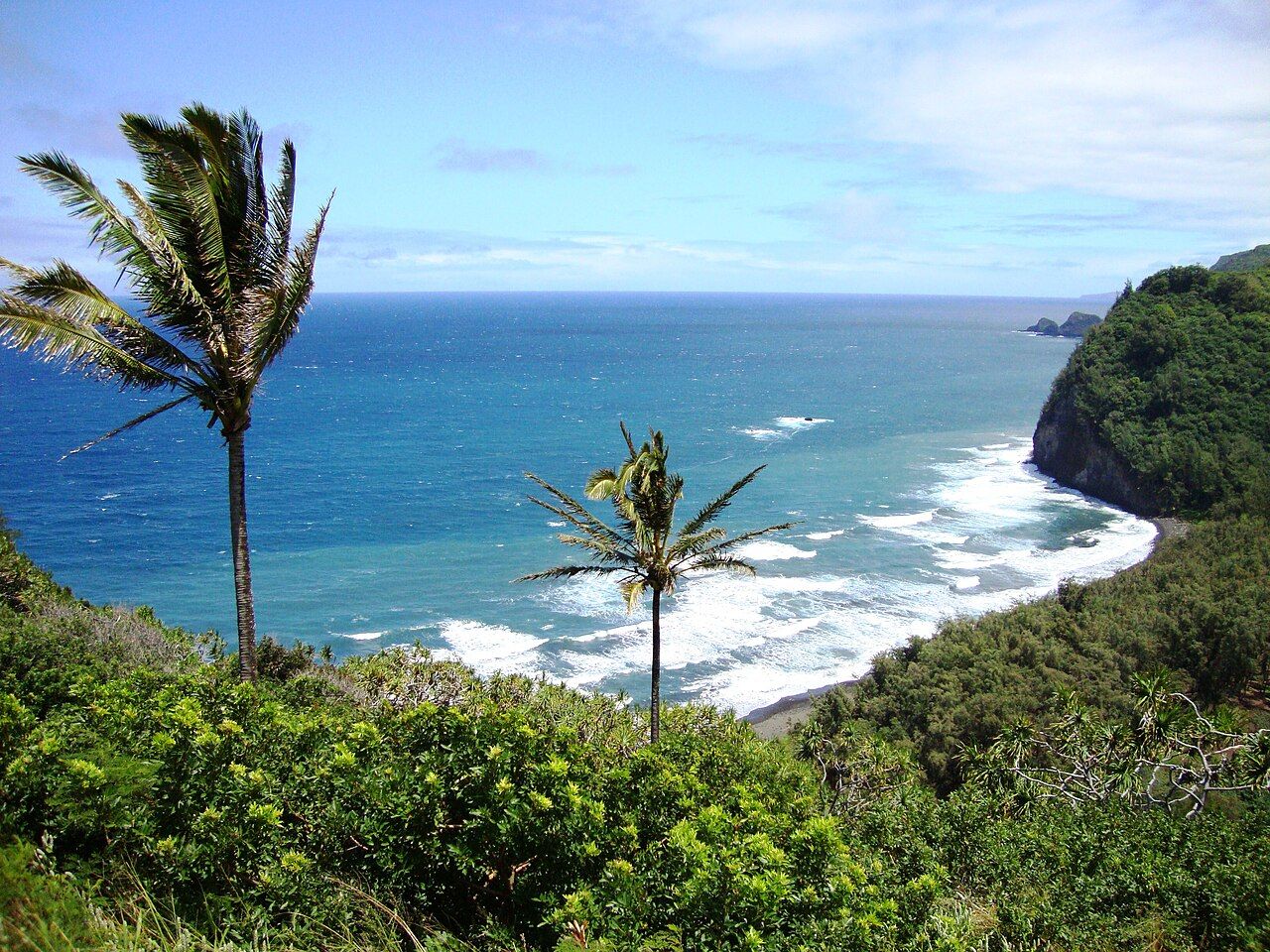
Waipiʻo is the best-known of a chain of deep valleys cut into the northern flank of the Kohala mountains. At the far end of that chain, where the road runs out in North Kohala, lies Pōlōlū. The two valleys bookend a stretch of sea cliffs and hanging valleys with no road between them, a coast most people only ever see from these two points.
Pōlōlū is smaller than Waipiʻo and its floor has no road, but the view from the lookout is one of the finest on the island, and a steep trail leads down to a beach of black stones and sand. It is a place to look carefully and walk carefully.
Getting to the end of the road
From the Hāmākua side, the usual way is to drive to Waimea, then north over the Kohala Mountain Road through ranch land to Hāwī, the main town of North Kohala. From Hāwī, Route 270 runs east through the small town of Kapaʻau and past green gulches until it stops at a turnaround above the valley. The road narrows in its last stretch, with tight curves, and residents use it daily.
In Kapaʻau you pass a statue of Kamehameha I. North Kohala was his birthplace, and the district holds many sites linked with his life and with older Hawaiian history. It is worth a short stop on the way.
The drive itself shows a different side of the island from Hāmākua. North Kohala is older land, its volcano long extinct, and the slopes are cut by gulches and lined with pasture, small farms and the remains of plantation ditches that once carried water from the wet uplands to the cane. Hāwī and Kapaʻau are small, lived-in towns with wooden storefronts, and the pace is slow. Drive gently through them.
The lookout
The lookout sits at the edge of the cliff where the road ends. Below, the valley opens to the sea between steep green walls, and a wide boulder beach curves along its mouth. Beyond, the cliffs run south-east headland after headland, with small islets standing off the coast and the next valleys hidden behind the ridges.
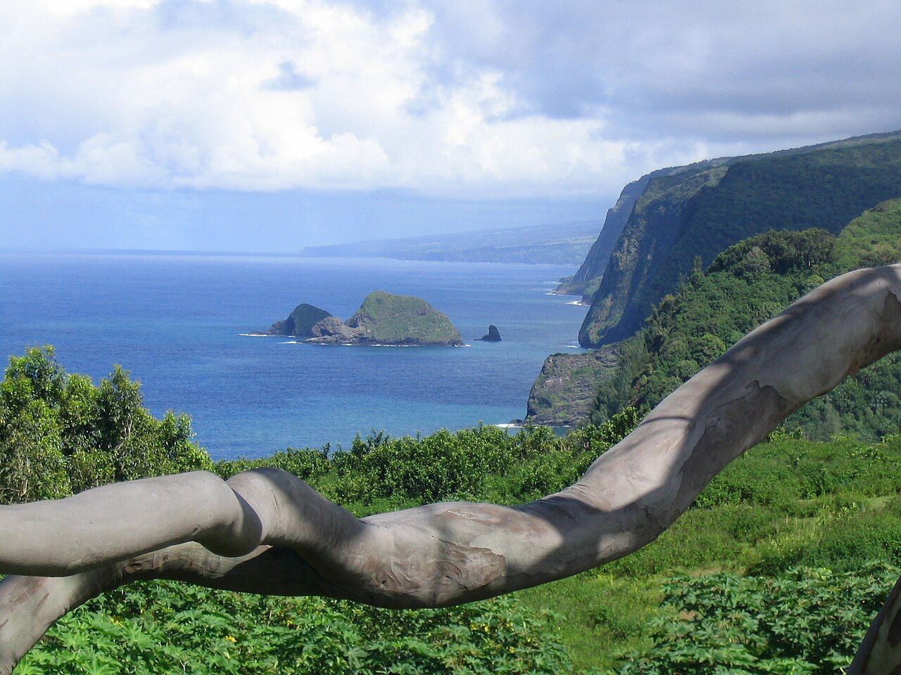
On clear days the light here is best in the morning, when the sun falls into the valley and onto the cliffs. Cloud often moves in later. Even from the top, the surf is plain to see: big swells roll into the bay and break hard against the stones.
Parking is very limited at the end of the road, and the lookout has seen growing crowds. Community groups have worked to care for the area, and the arrangements for parking and access have changed.
The trail down
A trail drops from the lookout to the valley floor, descending a few hundred feet on a series of switchbacks. It is short but steep, rocky and, after rain, very muddy and slippery. Many people find the climb back up harder than they expected.
Also on this coastWaimanu and the Muliwai Trail- Wear shoes with real grip; sandals are a common cause of falls.
- Carry water, especially on warm days, and allow time for the climb back.
- Avoid the trail in heavy rain or right after it, when it turns to mud and rocks loosen.
- Step aside for people coming up; the trail is narrow in places.
At the bottom, the trail meets the boulder beach. Behind it, a line of ironwood trees and a stream mark the valley mouth. The beach itself is a striking place to sit, with the cliffs rising on both sides and the sound of stones rolling in the surf.
The ocean and the stream
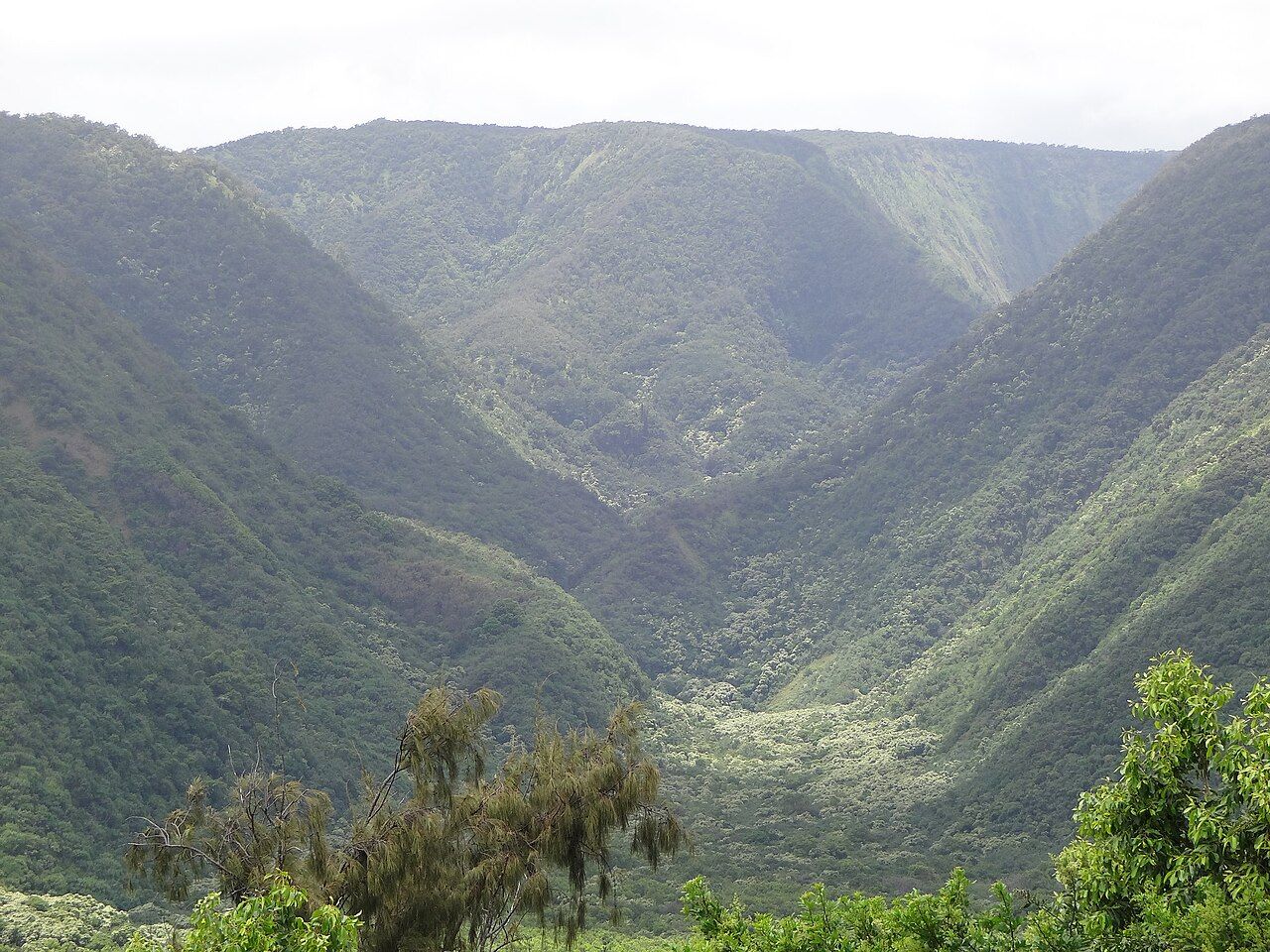
Do not swim at Pōlōlū. The bay is exposed to open ocean swells, and strong currents and a powerful shore break make it dangerous at almost any time. There are no lifeguards and help is far away. The same is true at Waipiʻo; see the Waipiʻo lookout guide for that end of the coast.
The stream that flows out of the valley can rise quickly in heavy rain. Do not try to cross it when it is high or muddy, and remember that rain far up in the mountains can bring a surge with little warning.
Respect for the valley
Like Waipiʻo, Pōlōlū was once home to Hawaiian families who farmed kalo in the valley and fished from its shore. Remains of their walls and terraces survive. Much of the land beyond the beach is private, and trails further into the valley and over the ridge to the next valley cross land where access is not open to the public. Stay on the main trail and the beach unless you know you are allowed further.
Do not stack stones on the beach, and do not take rocks home. Pack out everything you bring, including food scraps, which draw rats and mongooses that prey on nesting birds.
The valleys between
Between Pōlōlū and Waipiʻo lie several more valleys, among them Honokāne Nui and Waimanu, reached only by long, rough trails or seen from the sea. The cliffs between are among the tallest on the island. Most visitors see this coast only from the two ends, and that is fitting: the valleys between remain remote.
If you have seen Waipiʻo from above, coming to Pōlōlū completes the picture of the Kohala coast. A full day can take in both, though the drive between them via Waimea takes well over an hour. Many people prefer to give each its own morning, and to spend the rest of the day in the plantation towns of Honokaʻa or North Kohala.
 Hilo, the rainy capital
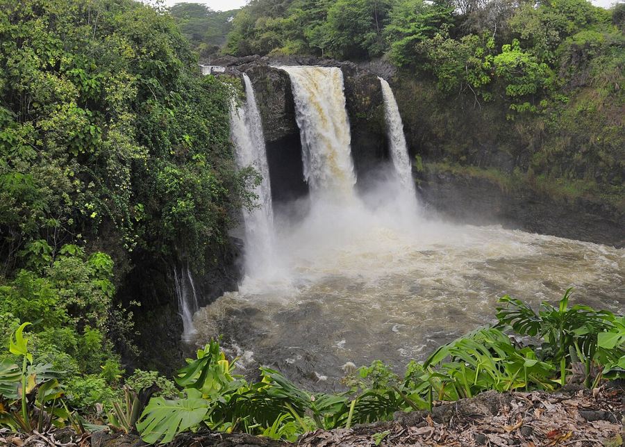 Rainbow Falls and the Wailuku River
 Hawaiian words and a respectful visit