Laupāhoehoe Point and 1946
A low tongue of lava juts into the sea below the Hāmākua cliffs. It is a lovely, wave-battered park, and a place of memory for the tsunami of 1946.
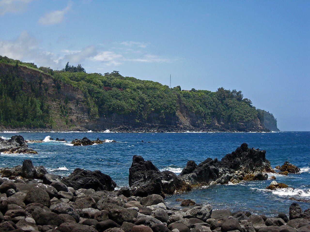
About halfway between Hilo and Honokaʻa, a narrow road leaves Highway 19 and drops in tight bends down the face of the Hāmākua cliffs. At the bottom, a flat, grassy peninsula of dark lava reaches out into the sea. This is Laupāhoehoe Point, now a county park with lawns, ironwood trees and waves crashing on black rock. It is one of the most striking places on the coast, and one of the most poignant.
On the morning of 1 April 1946, a tsunami swept over the point and took the lives of children and teachers from the school that stood here. The memorial at the point keeps their names. Coming here with that history in mind changes how you see the place.
A leaf of lava
The name Laupāhoehoe is often translated as leaf of smooth lava, from lau, a leaf, and pāhoehoe, the smooth, ropy kind of lava. The point was formed when a flow from the slopes of Mauna Kea ran down a gulch and out into the sea, building a low, flat fan of rock at the foot of the cliffs. In a coastline of sheer walls, such a level landing was rare and valuable.
For centuries, Hawaiian communities lived and fished here. Later, in the plantation era, the point became a landing for the sugar trade and the site of a village, with homes, a church and a school. A railway ran along the cliffs above, part of the line that linked the coast's plantation towns to Hilo.
1 April 1946
Early that morning, a powerful earthquake struck near the Aleutian Islands, far to the north. It sent a tsunami racing across the Pacific, and a few hours later the waves reached the northeast coast of Hawaiʻi Island with no effective warning.
At Laupāhoehoe, children were arriving for the school day, and teachers lived in cottages on the point. When the sea first drew back from the shore, some went to look. Then the waves came in, washing over the low peninsula and sweeping people out to sea. Some two dozen people died at Laupāhoehoe, most of them schoolchildren, along with several of their teachers. A few were rescued after drifting for hours.
The same tsunami devastated the Hilo waterfront and surged up Waipiʻo Valley, and in all it killed more than one hundred and fifty people in the islands. It led to the creation of a Pacific tsunami warning system. The school was later moved to higher ground above the cliffs.
For the families of Laupāhoehoe, the loss shaped the community for generations. Survivors and their descendants have kept the memory alive through gatherings and commemorations, and the story is taught in local schools so that children understand why they must head for high ground when the warning comes.
Also on this coastLooking down into WaipiʻoThe memorial
Near the tip of the point stands a stone memorial inscribed with the names and ages of those who died. Families and community members care for it, and you will often find fresh flowers, lei and other offerings placed there. Many of the names are those of children in their early teens.
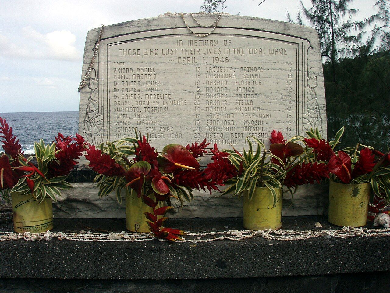
This is a place to pause. Read the names, take a quiet moment, and leave everything as you found it. If you take photographs, do so with care, and do not touch or move offerings. Remember that relatives of those named still live along this coast.
The park and the surf
Today Laupāhoehoe Point is a county park, with grassy areas, picnic spots and views back along the green cliffs of the Hāmākua coast. It is a good place to stop on a drive along the coast, eat lunch under the trees and watch the waves.
Those waves are the main thing to understand about the point. The surf here is powerful and unpredictable, breaking hard on the lava rocks. Sets can wash much higher up the shore than you expect, and the rocks are slippery. This is not a place to swim, wade or climb on the rocks at the water's edge. Stay well back, and watch children closely.
- Do not turn your back on the ocean.
- Keep off wet rocks near the water.
- If you feel a strong earthquake or hear a siren, leave the point and head uphill at once.
The train museum
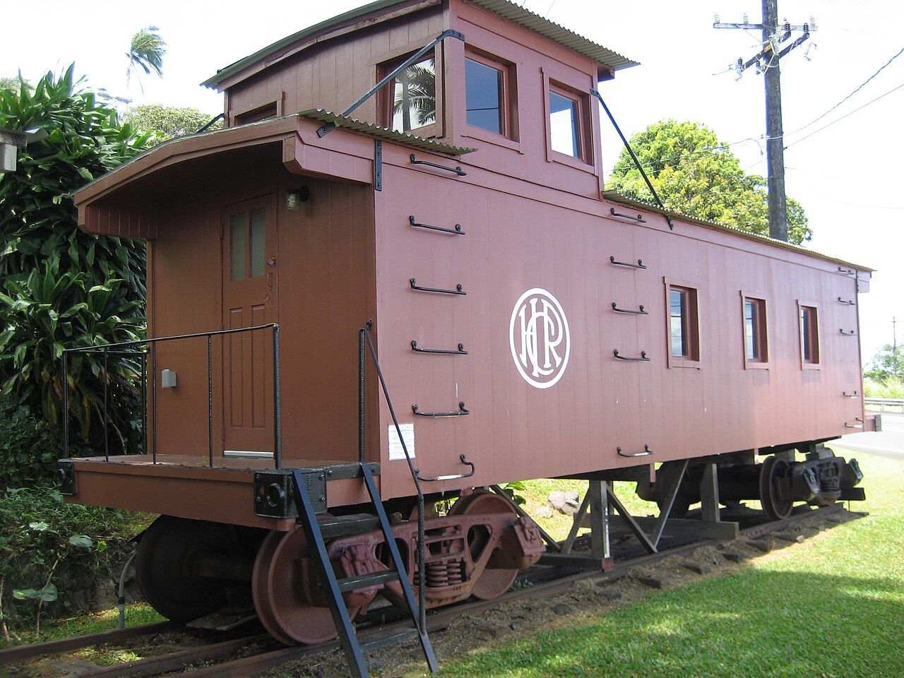
Up on the highway in Laupāhoehoe village, a small train museum tells the story of the railway that once ran along this coast. In a modest building beside the highway, it displays photographs, equipment and pieces of rolling stock, including a restored caboose, and explains how the line linked the plantation towns until the 1946 tsunami destroyed it. Which days the gates open shifts over the year, so confirm before driving up.
The museum is a good place to understand how life on the coast worked during the sugar era, and why the tsunami was such a turning point for the communities here.
Getting there and nearby
The road down to the point leaves Highway 19 between Hilo and Honokaʻa. It is steep and narrow, with tight bends, so drive slowly and use low gear on the way down. Allow time to linger: the point is best enjoyed without rushing.
Laupāhoehoe makes a natural stop on the Hāmākua heritage drive, along with ʻAkaka Falls to the south and Kalopa to the north. Continuing north brings you to Honokaʻa and eventually to Waipiʻo Valley, where the same tsunami surged far up the valley floor. To understand that part of the story, read the history of Waipiʻo.
 ʻAkaka Falls and Honomū
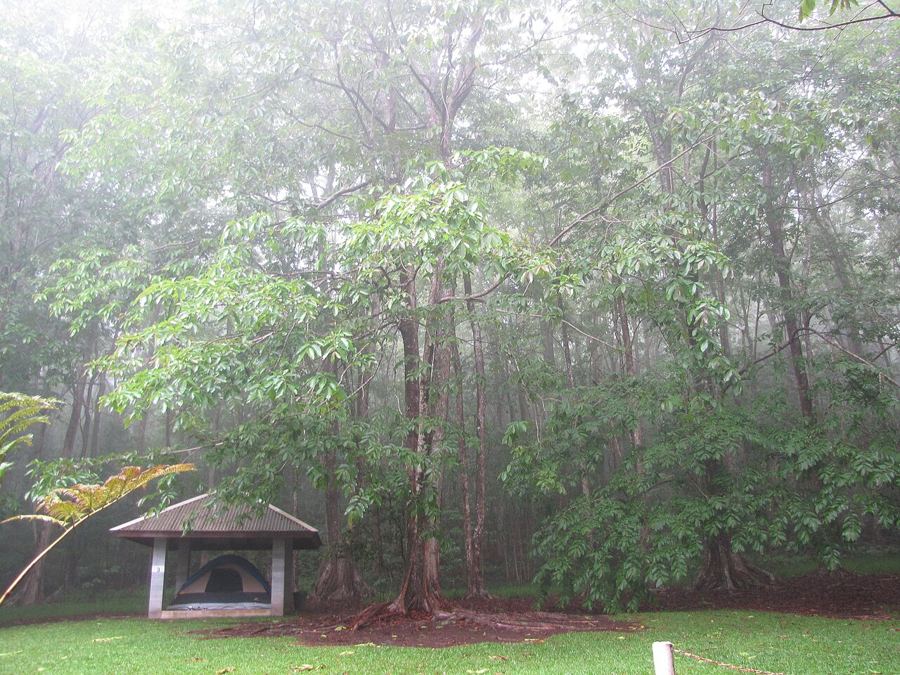 Kalopa forest and the native trees
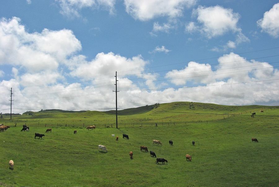 Waimea and the paniolo