Hilo, the rainy capital
The county seat of Hawaiʻi Island curves around a sheltered bay under the mountains, shaped by two tsunami, washed by steady rain, and lived in rather than staged for visitors.
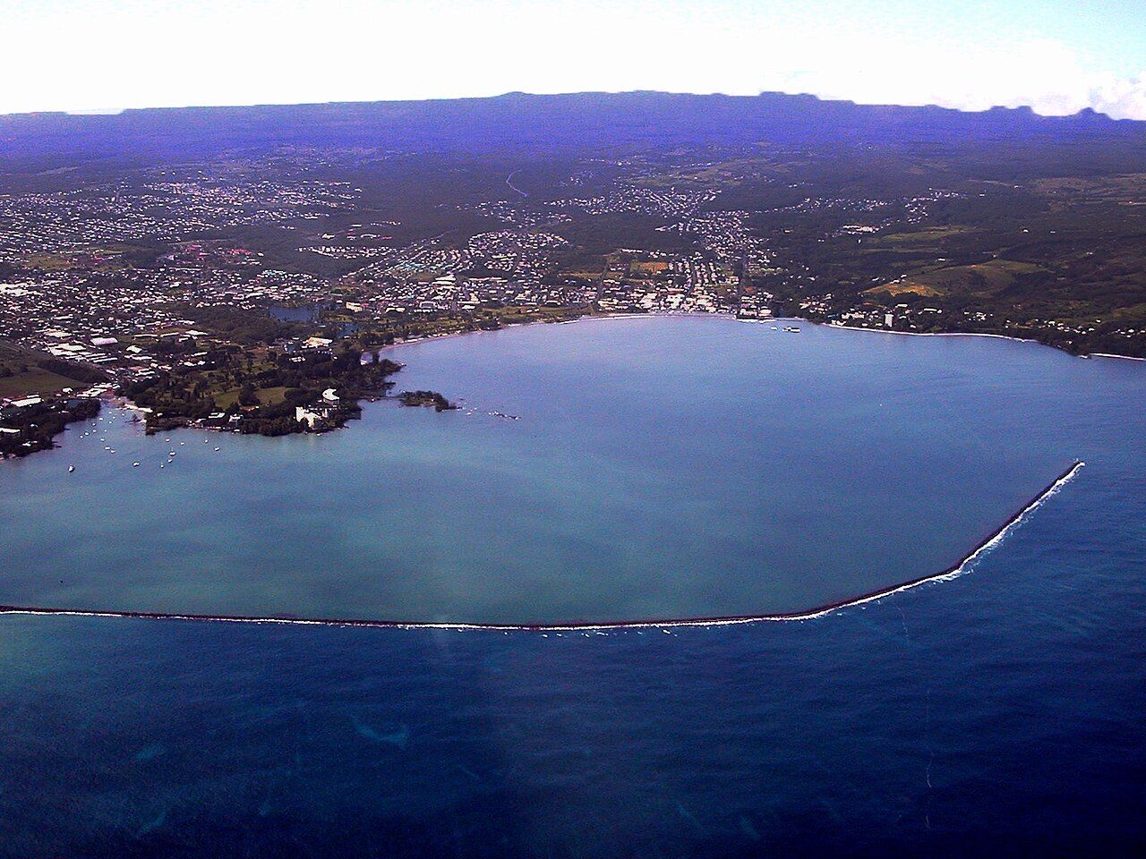
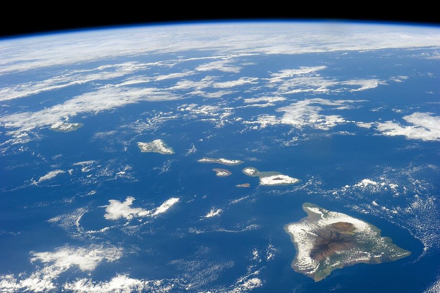
Hilo sits at the head of a wide bay on the eastern side of Hawaiʻi Island, where the slopes of Mauna Kea and Mauna Loa run down to the sea. It is the seat of Hawaiʻi County and the largest town on this side of the island, and it has a reputation that every visitor hears about before arriving: it rains. That rain, and the history the town has lived through, give Hilo a character quite different from the resort coast on the other side of the island.
For anyone staying on the Hāmākua Coast, Hilo is the nearest town of any size, an hour or so south along the highway. It is worth more than an errand.
The bay and the bayfront
Hilo Bay is sheltered by a long breakwater built in the early twentieth century, which stretches across much of its mouth and creates a calm harbour. Along the shore, a road runs past parks, sports fields and a wide band of green space between the water and the old downtown. Canoe clubs paddle on the bay in the late afternoon, and fishermen work from the shore and the river mouths.
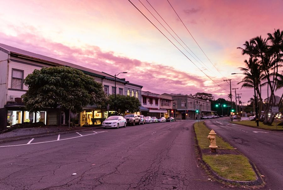
Downtown Hilo lies behind the bayfront, a grid of streets lined with two-storey buildings from the early and middle twentieth century, many with covered walkways that keep pedestrians dry. Small shops, places to eat and offices fill them. It is a real town centre, used every day by people who live here.
Two rivers reach the sea at the bay, the Wailuku and the smaller Wailoa, and the town grew up around their mouths. Hawaiians fished and farmed here for centuries, with fishponds along the shore, and the bay later became a busy port for sugar from the plantations along the coast. Ships still call at the harbour, and the town still faces the water.
Two tsunami
The open green space along the bay has a history. On 1 April 1946, a tsunami generated by an earthquake near the Aleutian Islands struck the Hawaiian Islands without warning. In Hilo the waves swept through the bayfront and downtown, destroying buildings and killing more than ninety people in the town. The same tsunami struck the Hāmākua Coast, including the school at Laupāhoehoe Point, where students and teachers died, and reached into Waipiʻo Valley.
In May 1960, a tsunami from a great earthquake in Chile struck Hilo again, this time at night. Despite warnings, dozens of people were killed, and the low-lying neighbourhood of Waiākea was devastated. After that, much of the bayfront was not rebuilt. It was turned into parks and open space, and the town centre was moved back and uphill in places. The green you walk through today is a memorial of sorts.
The green you walk through today is a memorial of sorts.
A museum in the downtown area tells this story in detail, with accounts from survivors, and it is one of the most affecting places to visit in Hilo. Tsunami sirens are tested regularly across the island; learn what they mean and where the evacuation routes are, which are marked on signs along the coast.
Liliʻuokalani Gardens and Banyan Drive
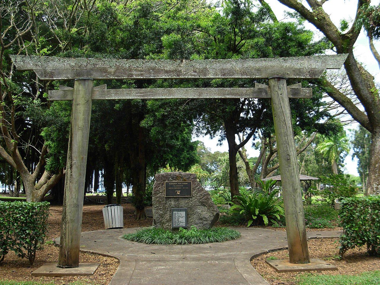
On the eastern side of the bay, a peninsula holds Liliʻuokalani Gardens, a large park laid out in Japanese style in the early twentieth century and named for Queen Liliʻuokalani, the last reigning monarch of Hawaiʻi. It reflects the large number of Japanese immigrants who came to work on the sugar plantations and built their lives in Hilo. Stone lanterns, arched bridges, fishponds and lawns run down to the water. It is free and open, a quiet place to walk early in the morning.
Next to it, Banyan Drive loops around the peninsula under a line of huge banyan trees, many of them planted from the 1930s onwards by visiting public figures. Small signs name who planted each tree. A short footbridge leads from the shore to Mokuola, a small island in the bay, often called Coconut Island, which was once a place of refuge and healing.
Also on this coastRainbow Falls and the Wailuku RiverRain, and how to enjoy it
Hilo is one of the wettest towns in the United States, with well over three metres of rain in an average year. The trade winds blow moist air off the ocean and up against the mountains, and it falls on this side of the island. But it rarely rains all day. A typical pattern is clear mornings, showers building in the afternoon, and heavier rain at night.
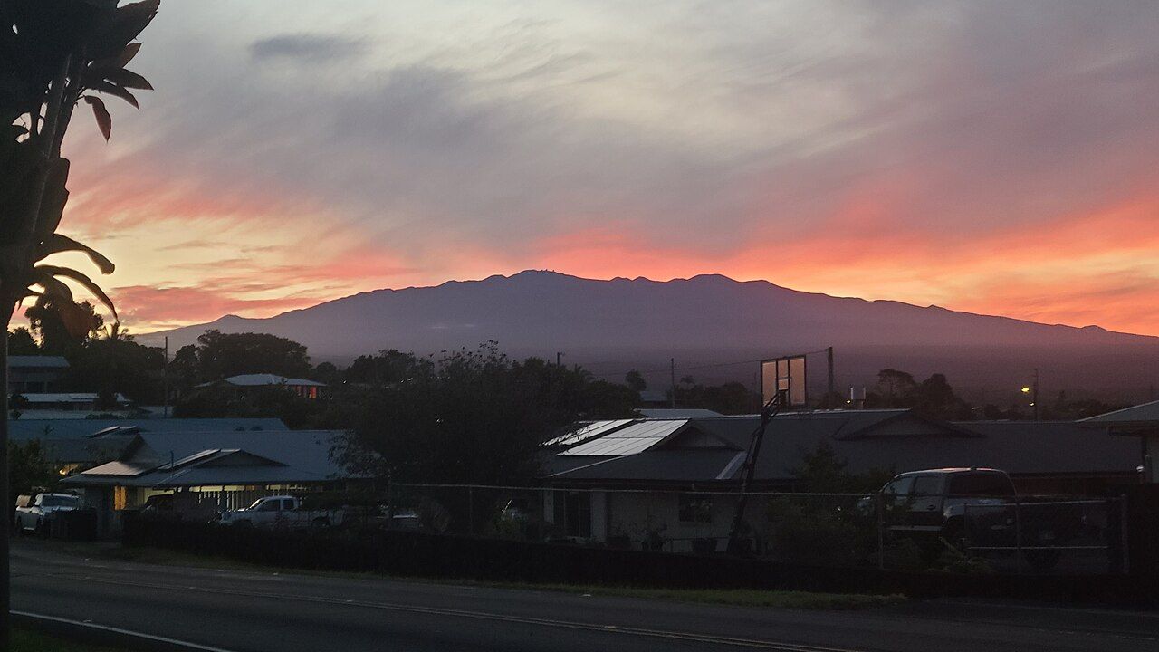
The rain is why Hilo is so green, and why the rivers and waterfalls around it run full. Bring an umbrella or light jacket, plan outdoor time for the morning, and save the museums for wet afternoons. On clear early mornings, the snow-capped summit of Mauna Kea often stands above the town, a sight that disappears behind cloud by midday.
Markets, museums and the town
Hilo has a long-running open-air farmers' market downtown, busiest on certain days of the week, where growers from around the island sell fruit, vegetables, flowers and prepared food. It is a good place to try tropical fruits you may not know, from rambutan to lilikoʻi.
The town has several museums. Besides the tsunami museum, there are collections on island history and natural history, and a centre on the edge of the university campus that presents Hawaiian navigation and astronomy together, telling the story of the mountain and the sky from both cultural and scientific points of view. Hilo is also home to a campus of the University of Hawaiʻi, and its students add life to the town.
In front of the public library sits a large stone known as the Naha Stone. Tradition says that whoever could move it would unite the islands, and that the young Kamehameha did so. A smaller stone beside it is also of historical significance. It is a reminder that Hilo has been an important place for far longer than its modern streets suggest.
Using Hilo as a base
Hilo makes a practical base for the eastern side of the island. Within a short drive you have Rainbow Falls and the Wailuku River, the waterfalls and gulches of the Hāmākua Coast to the north, and the road to the volcano to the south. The airport is close to town.
Accommodation is plainer than on the dry side of the island and the beaches are fewer, but the town has a warmth and an everyday rhythm that many visitors come to prefer. Walk the bayfront in the early light, eat at the market, and let the afternoon rain set the pace.
 Hawaiian words and a respectful visit
 Poke, laulau and the food of the coast
 Weather, roads and getting around the island