Area
The Hāmākua Coast
Plantation towns, gulches and waterfalls along Highway 19.
 Hāmākua
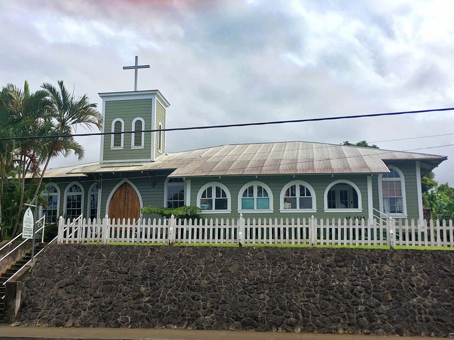
Honokaʻa, the plantation town
High above the sea on the Hāmākua coast, Honokaʻa keeps the shape of a sugar town: false-front shops, a 1930 theatre, old churches and a long, unhurried main street.
 Hāmākua
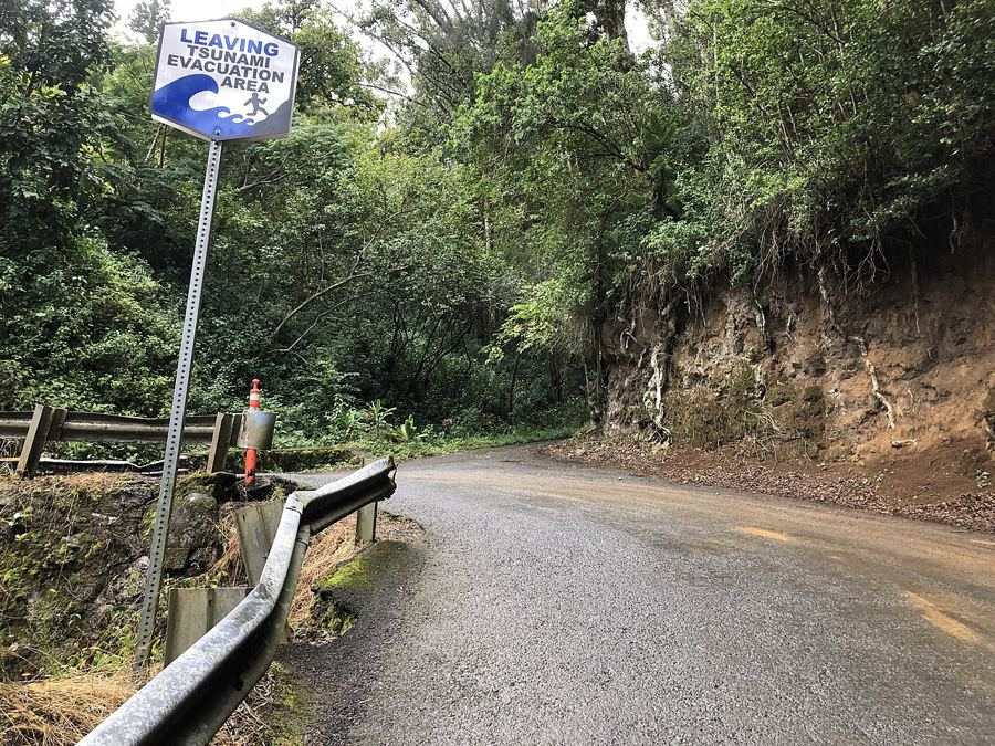
Kukuihaele at the end of the road
The last village before the Waipiʻo lookout is a quiet place of homes, gardens and old plantation cottages. Most visitors pass through in a minute; it rewards a slower, gentler pace.
 Hāmākua
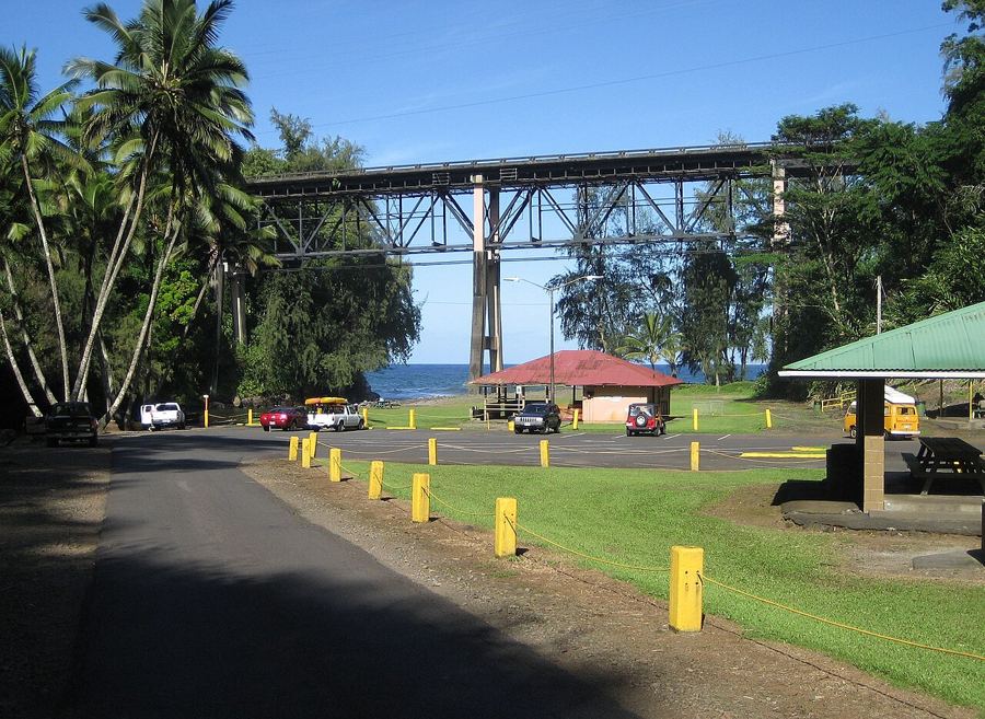
The Hāmākua heritage drive
Between Hilo and Honokaʻa, Highway 19 crosses gulch after gulch above the sea, passing old mill towns, high bridges and green valleys that tell the story of sugar.
 North Hilo
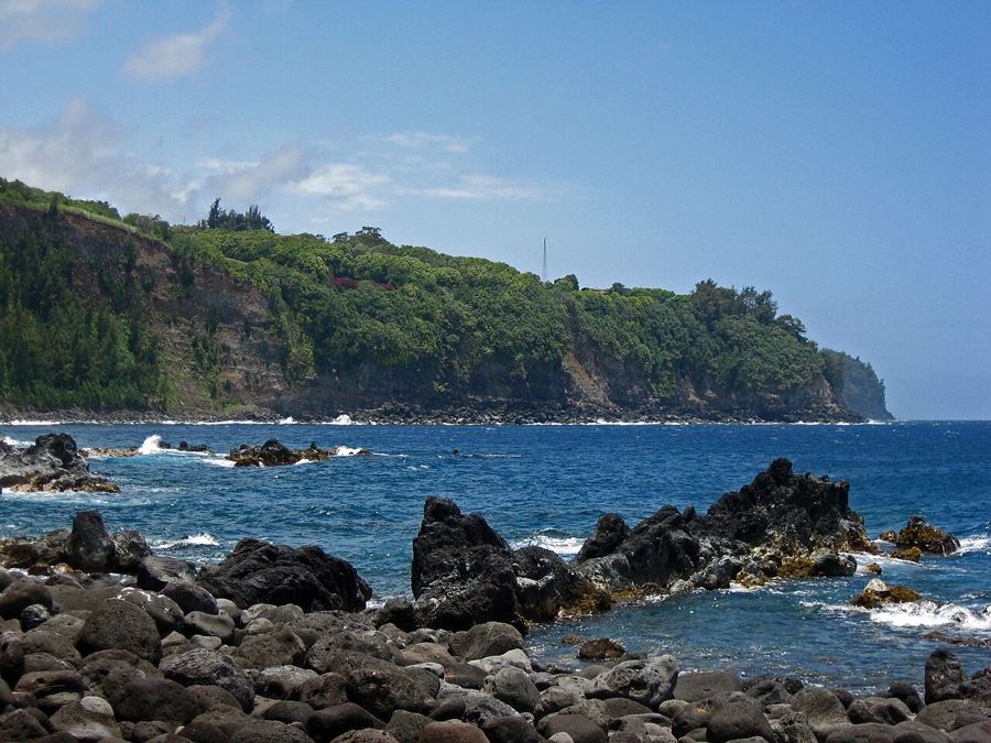
Laupāhoehoe Point and 1946
A low tongue of lava juts into the sea below the Hāmākua cliffs. It is a lovely, wave-battered park, and a place of memory for the tsunami of 1946.
 South Hilo
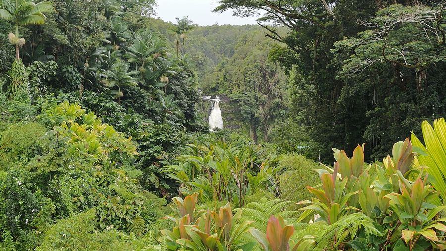
ʻAkaka Falls and Honomū
A short loop through wet forest leads to one of the tallest single drops on the island, and a plantation-era town sits at the bottom of the hill.
 Hāmākua
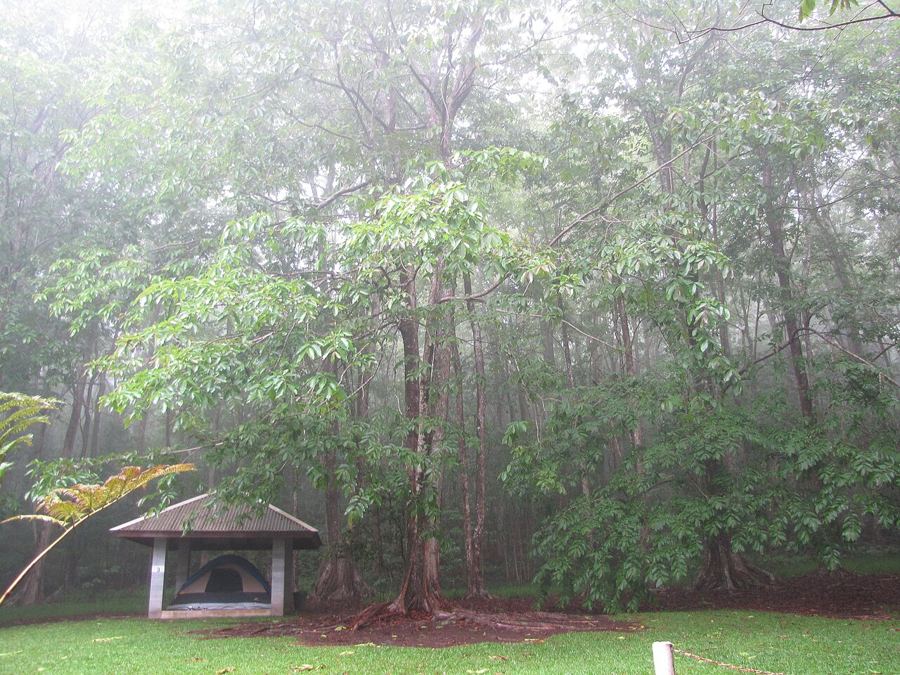
Kalopa forest and the native trees
High above the old cane lands, a small state park keeps one of the last stands of native lowland forest on the coast, with a gentle trail and a garden of island plants.